Combining Satellite Imagery with Casualty Figures Provides a More Complete Picture of Contemporary Wars
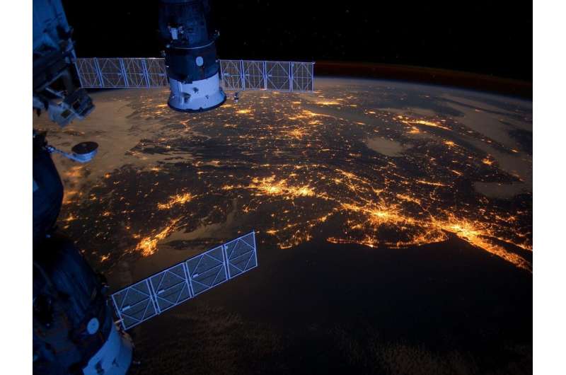
A recent paper in Nature contends that looking only at casualty tallies offers an incomplete snapshot of warfare. By merging satellite photographs with conventional on‑the‑ground reporting, the authors argue that analysts can reveal displacement trends, damage to infrastructure and battlefield shifts that plain death counts overlook.
Valerie Sticher, the study’s lead author, together with her collaborators, examined multiple information streams—casualty registries, media narratives and high‑resolution satellite imagery—to craft a cross‑validation framework. Their method stresses aligning timelines so observers can trace how spikes in combat manifest as tangible changes, such as razed villages or newly‑created refugee pathways.
The team demonstrates the technique using the conflict in Ukraine, where official fatality numbers differ markedly among governments and NGOs. Satellite snapshots documented the swift spread of artillery sites, the wreckage of power substations and the rise of improvised camps along the front lines. Correlating these visual markers with reported casualties revealed that certain fierce engagements resulted in relatively few verified deaths yet generated massive displacement and infrastructure devastation.
A second illustration turns to Myanmar’s long‑standing civil turmoil. In areas where journalists operate under tight restrictions, satellite surveillance exposed a pattern of village burnings and the erection of makeshift detention centers. These findings supplied proof of human‑rights abuses even when official casualty statistics stayed low or were intentionally under‑reported.
Sticher concludes that governments, aid agencies and news organizations would profit from routinely pairing satellite observations with casualty data. This dual perspective can pinpoint budding flashpoints, streamline aid distribution and strengthen accountability for violators. As satellite hardware grows cheaper and more widely available, the authors anticipate a future where near‑real‑time imagery becomes a regular element of conflict monitoring, augmenting—not supplanting—traditional reporting.



Comments (0)
Be the first to comment.
Join the discussion